
Kerrohan topographic map
Interactive map
Click on the map to display elevation.
About this map
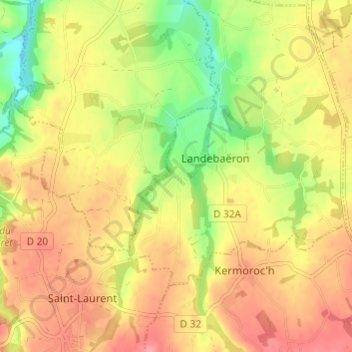
Name: Kerrohan topographic map, elevation, terrain.
Average elevation: 95 m
Minimum elevation: 46 m
Maximum elevation: 131 m
Other topographic maps
Click on a map to view its topography, its elevation and its terrain.
Grand Bois
France > Bretagne > Côtes-d'Armor > Landebaëron > Grand Bois
Grand Bois, Landebaëron, Guingamp, Côtes-d'Armor, Bretagne, France métropolitaine, 22140, France
Average elevation: 106 m