
Place Général De Gaulle topographic map
Interactive map
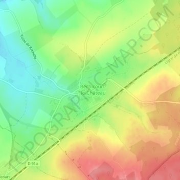
Click on the map to display elevation.
About this map
Name: Place Général De Gaulle topographic map, elevation, terrain.
Average elevation: 285 m
Minimum elevation: 245 m
Maximum elevation: 327 m
Other topographic maps
Click on a map to view its topography, its elevation and its terrain.
Place du Général de Gaulle
France > Grand Est > Réchicourt-le-Château
Place du Général de Gaulle, Réchicourt-le-Château, Sarrebourg-Château-Salins, Moselle, Grand Est, Metropolitan France, 57810, France
Average elevation: 286 m