Geolocate

Dooni topographic map

Click on the map to display elevation.

About this map

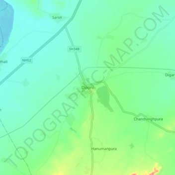
Name: Dooni topographic map, elevation, terrain.

Location: Dooni, Dooni Tehsil, Tonk District, Rajasthan, India (25.83173 75.56004 25.91173 75.64004)

Average elevation: 312 m

Minimum elevation: 289 m

Maximum elevation: 383 m

Gear up for your next adventure:

🧰Survival Kit - Essential gear for emergencies in the wilderness
🧥Softshell Jacket - Windproof and breathable jacket for hiking
🧥Packable Rain Jacket - Breathable waterproof layer for unpredictable weather
🥾Durable Hiking Shoes - Long-lasting shoes for frequent hiking
🔋Solar Power Bank - Keep your GPS and devices charged during long outdoor trips

As an Amazon Associate, this site earns from qualifying purchases at no extra cost to you.