
Shirwal topographic map
Interactive map
Click on the map to display elevation.
About this map
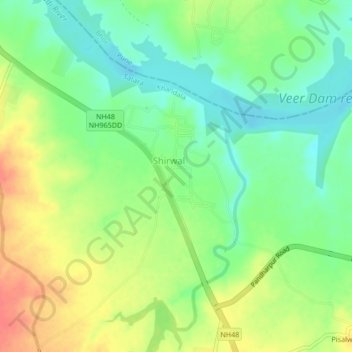
Name: Shirwal topographic map, elevation, terrain.
Location: Shirwal, Satara, Maharashtra, 412800, India (18.12612 73.95755 18.16612 73.99755)
Average elevation: 595 m
Minimum elevation: 570 m
Maximum elevation: 628 m