Geolocate

Mayan topographic map

Click on the map to display elevation.

About this map

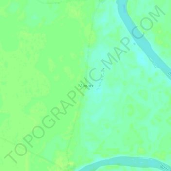
Name: Mayan topographic map, elevation, terrain.

Location: Mayan, Mandoul, Chad (8.87176 17.94213 8.91176 17.98213)

Average elevation: 368 m

Minimum elevation: 361 m

Maximum elevation: 372 m

Gear up for your next adventure:

🥾Trekking Poles - Adjustable trekking poles to reduce knee stress and improve stability
🧣Evaporative Cooling Towel - Beat the heat during intense summer climbs
🧤Thermal Hiking Gloves - Grip-enhanced gloves for cold-weather altitude trekking
🧦Thermal Socks - Warm socks for winter hiking or camping
💡Solar Camping Lamp - Eco-friendly lighting for campsites

As an Amazon Associate, this site earns from qualifying purchases at no extra cost to you.