
Soubras topographic map
Interactive map
Click on the map to display elevation.
About this map
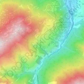
Name: Soubras topographic map, elevation, terrain.
Location: Soubras, Turín, Piamonte, 10056, Italia (44.98977 6.79079 45.02977 6.83079)
Average elevation: 1,553 m
Minimum elevation: 1,083 m
Maximum elevation: 2,116 m