
Make a donation
Gear up for your next adventure:
As an Amazon Associate, this site earns from qualifying purchases at no extra cost to you.
Gießen topographic map
Click on the map to display elevation.
Make a donation
Gear up for your next adventure:
As an Amazon Associate, this site earns from qualifying purchases at no extra cost to you.
About this map
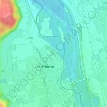
Name: Gießen topographic map, elevation, terrain.
Average elevation: 515 m
Minimum elevation: 500 m
Maximum elevation: 570 m
Make a donation
Gear up for your next adventure:
As an Amazon Associate, this site earns from qualifying purchases at no extra cost to you.
Other topographic maps
Click on a map to view its topography, its elevation and its terrain.
Regglisweiler
Deutschland > Baden-Württemberg > Alb-Donau-Kreis > Dietenheim
Während des Ersten Weltkriegs war Regglisweiler mit verschiedenen Problemen konfrontiert. Das gesellschaftliche Leben stagnierte da die meisten Männer zwischen 18 und 40 Jahren zum Kriegseinsatz herangezogen wurden. Die Kriegswirtschaft war geprägt durch Ablieferungen von Nahrungsmitteln, Zuweisungen von…
Average elevation: 527 m