Geolocate

Cadaatan topographic map

Click on the map to display elevation.

About this map

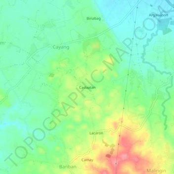
Name: Cadaatan topographic map, elevation, terrain.

Location: Cadaatan, Cayang, Cebu, Central Visayas, 6010, Philippines (11.01334 123.94667 11.05334 123.98667)

Average elevation: 37 m

Minimum elevation: 6 m

Maximum elevation: 96 m

Gear up for your next adventure:

🧼Biodegradable Camp Soap - Environmentally friendly cleaning for gear and body
🔨Vehicle Emergency Tool - Safety tool for remote road trips to trailheads
🧦Crew Hiking Socks - Comfortable socks for long-distance hikes
🗺️Topographic Maps - Detailed maps to explore trails, mountains, and wilderness areas
🔦LED Headlamp - Hands-free lighting for early morning starts or late finishes

As an Amazon Associate, this site earns from qualifying purchases at no extra cost to you.