Geolocate

Bonbon topographic map

Click on the map to display elevation.

About this map

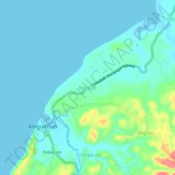
Name: Bonbon topographic map, elevation, terrain.

Location: Bonbon, Cebu, Central Visayas, 6040, Philippines (10.20454 123.53733 10.24454 123.57733)

Average elevation: 20 m

Minimum elevation: 0 m

Maximum elevation: 119 m

Gear up for your next adventure:

🧦Crew Hiking Socks - Comfortable socks for long-distance hikes
💡LED Camping Lantern - Illuminate your campsite with long-lasting lanterns
🥾Hiking Shoes - Durable and comfortable shoes for trail hiking
🧴Bear Spray Holster - Quick-access carry for essential Canadian wilderness safety
🧤Rechargeable Heated Gloves - Extreme warmth for Canadian winter expeditions

As an Amazon Associate, this site earns from qualifying purchases at no extra cost to you.