Geolocate

Costales topographic map

Click on the map to display elevation.

About this map

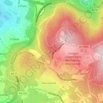
Name: Costales topographic map, elevation, terrain.

Location: Costales, Beade, Vigo, Pontevedra, Galicia, 36310, Spain (42.16159 -8.70088 42.18159 -8.68088)

Average elevation: 350 m

Minimum elevation: 153 m

Maximum elevation: 510 m

Gear up for your next adventure:

🧢Sun Hat - Wide-brim hat for sun protection
💧Hydration Bladder - Hands-free hydration solution for long treks
🧦Crew Hiking Socks - Comfortable socks for long-distance hikes
🥾Trail Running Boots - Durable shoes designed for trail running
🔥Emergency Fire Starter - Reliable ignition source for all weather conditions

As an Amazon Associate, this site earns from qualifying purchases at no extra cost to you.