Geolocate

McComb topographic map

Click on the map to display elevation.

About this map

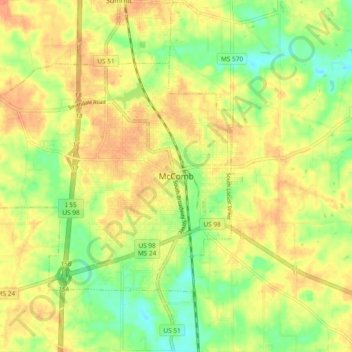
Name: McComb topographic map, elevation, terrain.

Location: McComb, Pike County, Mississippi, 39648, United States (31.20379 -90.49315 31.28379 -90.41315)

Average elevation: 126 m

Minimum elevation: 100 m

Maximum elevation: 146 m

Gear up for your next adventure:

🐕Hiking Dog Pack - Let your canine companion carry their own water and food
🧳Compression Sacks - Maximize space in your backpack by shrinking gear
🏕️Camping Hammock - Integrated protection for sleeping between trees
🧼Travel Hand Sanitizer - Keep hands clean when water is scarce
🔥Emergency Fire Starter - Reliable ignition source for all weather conditions

As an Amazon Associate, this site earns from qualifying purchases at no extra cost to you.