
Thank you for supporting this site ❤️
Make a donation
Make a donation
Gear up for your next adventure:
As an Amazon Associate, this site earns from qualifying purchases at no extra cost to you.
Kurusarı topographic map
Click on the map to display elevation.
Thank you for supporting this site ❤️
Make a donation
Make a donation
Gear up for your next adventure:
As an Amazon Associate, this site earns from qualifying purchases at no extra cost to you.
About this map
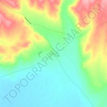
Name: Kurusarı topographic map, elevation, terrain.
Location: Kurusarı, Yalvaç, Isparta, Mediterranean Region, Turkey (38.25046 31.06463 38.29046 31.10463)
Average elevation: 1,070 m
Minimum elevation: 1,019 m
Maximum elevation: 1,152 m
Thank you for supporting this site ❤️
Make a donation
Make a donation
Gear up for your next adventure:
As an Amazon Associate, this site earns from qualifying purchases at no extra cost to you.