Geolocate

Harur topographic map

Click on the map to display elevation.

Harur

The town is in northern Tamil Nadu, with an average elevation of 350 meters (1148 feet).

About this map

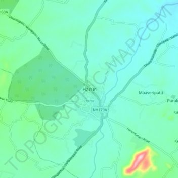
Name: Harur topographic map, elevation, terrain.

Location: Harur, Dharmapuri District, Tamil Nadu, 636803, India (12.01927 78.43808 12.09927 78.51808)

Average elevation: 365 m

Minimum elevation: 321 m

Maximum elevation: 582 m

Gear up for your next adventure:

🧦Hiking Liner Socks - Thin base layer to prevent friction and blisters
🧰Emergency Multi-Tool - Compact multi-tool for outdoor survival
🧭GPS Handheld Device - Reliable GPS navigation for outdoor adventures
🧦Outdoor Socks - Durable socks designed for hiking and outdoor sports
🥾Light Hiking Boots - Lightweight and comfortable boots for day hikes

As an Amazon Associate, this site earns from qualifying purchases at no extra cost to you.