Geolocate

Sutton Pass topographic map

Click on the map to display elevation.

About this map

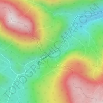
Name: Sutton Pass topographic map, elevation, terrain.

Location: Sutton Pass, Area D (Sproat Lake), Alberni-Clayoquot, British Columbia, Canada (49.28109 -125.35312 49.28119 -125.35302)

Average elevation: 436 m

Minimum elevation: 104 m

Maximum elevation: 863 m

Alberni-Clayoquot trails, hiking, mountain biking, running and outdoor activities

Gear up for your next adventure:

🥾Approach Shoes - Shoes designed for climbing approaches and rugged trails
🥾Durable Hiking Shoes - Long-lasting shoes for frequent hiking
🛏️Sleeping Bag - Warm and compact sleeping bags for outdoor camping
🏃Hydration Running Vest - Carry water and maps close to your body for speed
🦶Hiking Shoe Insoles - Added support for high arches and long days on feet

As an Amazon Associate, this site earns from qualifying purchases at no extra cost to you.