
Presa de Valdemurio topographic map
Interactive map
Click on the map to display elevation.
About this map
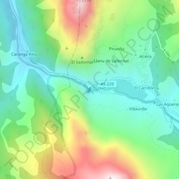
Name: Presa de Valdemurio topographic map, elevation, terrain.
Location: Presa de Valdemurio, Llano, Quirós, Asturias, España (43.19871 -6.01969 43.19945 -6.01912)
Average elevation: 564 m
Minimum elevation: 268 m
Maximum elevation: 1,156 m