
Make a donation
Gear up for your next adventure:
As an Amazon Associate, this site earns from qualifying purchases at no extra cost to you.
Borken topographic map
Click on the map to display elevation.
Make a donation
Gear up for your next adventure:
As an Amazon Associate, this site earns from qualifying purchases at no extra cost to you.
Borken
Die Stadtansicht Borkens ist durch das weithin sichtbare Wahrzeichen, den Wasserturm, geprägt. Errichtet ist er auf dem Blumenhain in direkter Nachbarschaft zum Sportstadtion. Sein Erdgeschoss liegt auf einer Höhe von 264 m, die Turmspitze auf 309,5 m. Somit erreicht er eine Gebäudehöhe von 45,50 m (einschließlich Gründung 50,95 m).
Make a donation
Gear up for your next adventure:
As an Amazon Associate, this site earns from qualifying purchases at no extra cost to you.
About this map
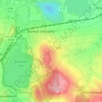
Name: Borken topographic map, elevation, terrain.
Location: Borken, Schwalm-Eder-Kreis, Hessen, 34582, Deutschland (51.02121 9.25854 51.06185 9.31627)
Average elevation: 202 m
Minimum elevation: 137 m
Maximum elevation: 295 m
Make a donation
Gear up for your next adventure:
As an Amazon Associate, this site earns from qualifying purchases at no extra cost to you.