
Mica Creek topographic map
Interactive map
Click on the map to display elevation.
About this map
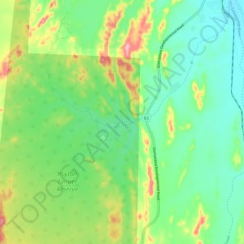
Name: Mica Creek topographic map, elevation, terrain.
Average elevation: 403 m
Minimum elevation: 356 m
Maximum elevation: 499 m
Other topographic maps
Click on a map to view its topography, its elevation and its terrain.
Mount Isa
Australia > Queensland > Mount Isa
Mount Isa, Mount Isa City, Queensland, 4825, Australia
Average elevation: 391 m