Geolocate

Mirkot topographic map

Click on the map to display elevation.

About this map

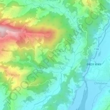
Name: Mirkot topographic map, elevation, terrain.

Location: Mirkot, Palungtar, Gorkha, Gandaki Province, 34005, Nepal (27.97866 84.53251 28.01866 84.57251)

Average elevation: 557 m

Minimum elevation: 369 m

Maximum elevation: 1,006 m

Other topographic maps

Click on a map to view its topography, its elevation and its terrain.

Gorkha

Nepal > Gandaki Province > Gorkha

Average elevation: 787 m

Chum Nubri

Nepal > Gandaki Province > Gorkha

Average elevation: 4,445 m

Chum Nubri

Nepal > Gandaki Province > Gorkha

Average elevation: 4,445 m

Gear up for your next adventure:

🦶Hiking Shoe Insoles - Added support for high arches and long days on feet
🧭Orienteering Kit - Tools for map reading and navigation in the wild
💧Reusable Water Bottle - Durable water bottles for hydration on trails
🩹Compact First Aid Kit - Pre-packed essentials for common trail injuries
🧥Packable Rain Jacket - Breathable waterproof layer for unpredictable weather

As an Amazon Associate, this site earns from qualifying purchases at no extra cost to you.