
Obert topographic map
Interactive map
Click on the map to display elevation.
About this map
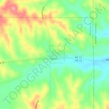
Name: Obert topographic map, elevation, terrain.
Location: Obert, Cedar County, Nebraska, États-Unis d'Amérique (42.68734 -97.02972 42.69164 -97.02467)
Average elevation: 426 m
Minimum elevation: 386 m
Maximum elevation: 479 m