
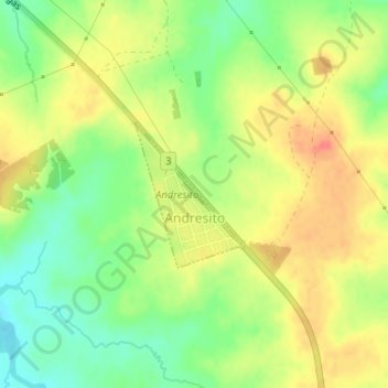
Andresito topographic map
Interactive map
Click on the map to display elevation.
About this map
Name: Andresito topographic map, elevation, terrain.
Location: Andresito, Flores, 85002, Uruguay (-33.17122 -57.13522 -33.16104 -57.12599)
Average elevation: 65 m
Minimum elevation: 36 m
Maximum elevation: 93 m