Geolocate

Taligman topographic map

Click on the map to display elevation.

About this map

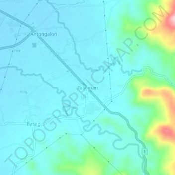
Name: Taligman topographic map, elevation, terrain.

Location: Taligman, Butuan, Caraga, Philippines (8.92080 125.60904 8.96080 125.64904)

Average elevation: 57 m

Minimum elevation: 17 m

Maximum elevation: 276 m

Gear up for your next adventure:

🧭GPS Handheld Device - Reliable GPS navigation for outdoor adventures
Lightweight Camping Tent - Portable shelter optimized for Canadian backcountry camping
🪑Ultralight Camping Stool - Compact seating for rest stops during long hikes
🧣Merino Neck Gaiter - Protects against wind, sun, and cold at high altitudes
🧭Orienteering Kit - Tools for map reading and navigation in the wild

As an Amazon Associate, this site earns from qualifying purchases at no extra cost to you.