
Wavre-Sainte-Catherine topographic map
Interactive map
Click on the map to display elevation.
About this map
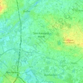
Name: Wavre-Sainte-Catherine topographic map, elevation, terrain.
Location: Wavre-Sainte-Catherine, Anvers, Flandre, Belgique (51.03465 4.46281 51.08979 4.60887)
Average elevation: 7 m
Minimum elevation: -2 m
Maximum elevation: 25 m