
Calmpthout topographic map
Interactive map
Click on the map to display elevation.
About this map
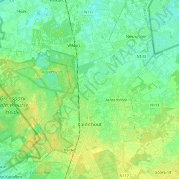
Name: Calmpthout topographic map, elevation, terrain.
Location: Calmpthout, Anvers, Flandre, 2920, Belgique (51.35242 4.38366 51.45379 4.53541)
Average elevation: 18 m
Minimum elevation: 9 m
Maximum elevation: 30 m