Geolocate

Angelia topographic map

Click on the map to display elevation.

About this map

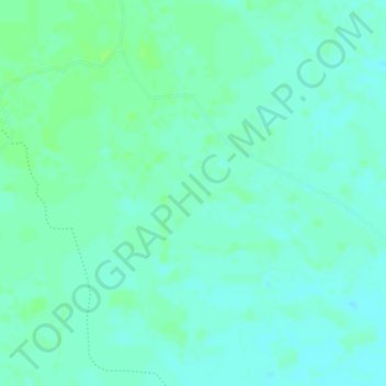
Name: Angelia topographic map, elevation, terrain.

Location: Angelia, Yopal, Casanare, RAP Llanos, Colombia (5.19045 -72.28475 5.21045 -72.26475)

Average elevation: 211 m

Minimum elevation: 206 m

Maximum elevation: 216 m

Gear up for your next adventure:

🥾Light Hiking Boots - Lightweight and comfortable boots for day hikes
🥾Approach Shoes - Shoes designed for climbing approaches and rugged trails
🛰️Satellite Messenger - Emergency communication for areas with no cell service
🥾Hiking Shoes - Durable and comfortable shoes for trail hiking
🚲MTB Frame Bag - Carry tools and maps directly on your bicycle frame

As an Amazon Associate, this site earns from qualifying purchases at no extra cost to you.