
Pine Valley topographic map
Click on the map to display elevation.
About this map
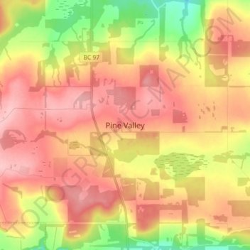
Name: Pine Valley topographic map, elevation, terrain.
Average elevation: 766 m
Minimum elevation: 691 m
Maximum elevation: 819 m
Peace River Regional District trails, hiking, mountain biking, running and outdoor activities
Other topographic maps
Click on a map to view its topography, its elevation and its terrain.
One Island Lake
Canada > British Columbia > Peace River Regional District > Area D (Kiskatinaw Valley)
Average elevation: 910 m