
Galala topographic map
Interactive map
Click on the map to display elevation.
About this map
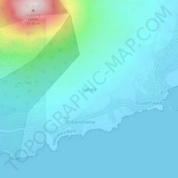
Name: Galala topographic map, elevation, terrain.
Location: Galala, North Maluku, 97752, Indonesia (1.04167 127.43104 1.08167 127.47104)
Average elevation: 132 m
Minimum elevation: -1 m
Maximum elevation: 980 m