
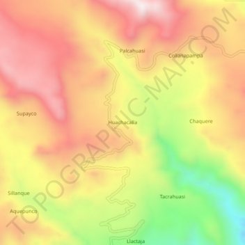
Huachacalla topographic map
Interactive map
Click on the map to display elevation.
About this map
Name: Huachacalla topographic map, elevation, terrain.
Location: Huachacalla, Provincia de Antabamba, Apurímac, Perú (-14.40751 -72.62441 -14.36751 -72.58441)
Average elevation: 4,490 m
Minimum elevation: 4,065 m
Maximum elevation: 4,793 m