
Montgomery topographic map
Interactive map
Click on the map to display elevation.
About this map
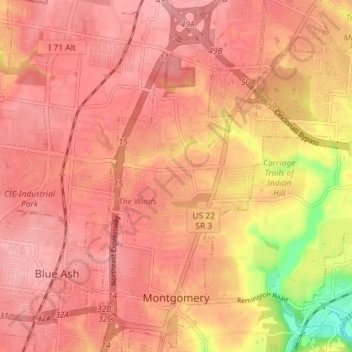
Name: Montgomery topographic map, elevation, terrain.
Location: Montgomery, Comté de Hamilton, Ohio, 45242-5324, États-Unis (39.21962 -84.37274 39.27522 -84.30759)
Average elevation: 242 m
Minimum elevation: 159 m
Maximum elevation: 270 m