Geolocate

Moravian Falls topographic map

Click on the map to display elevation.

About this map

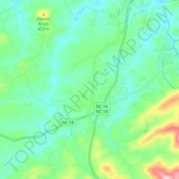
Name: Moravian Falls topographic map, elevation, terrain.

Location: Moravian Falls, Wilkes County, North Carolina, United States (36.07302 -81.20119 36.13223 -81.15820)

Average elevation: 362 m

Minimum elevation: 294 m

Maximum elevation: 566 m

Gear up for your next adventure:

💡LED Headlamp - Hands-free illumination for night hiking and camping
🚑Survival Whistle - Signal for help across long distances in mountains
🔭Compact Monocular - One-handed bird watching and trail spotting
🥾Lightweight Hiking Shoes - Comfortable shoes for day hikes
🥾Mountaineering Boots - Supportive boots for climbing and high-altitude hiking

As an Amazon Associate, this site earns from qualifying purchases at no extra cost to you.