Geolocate

Baie-Davis topographic map

Click on the map to display elevation.

About this map

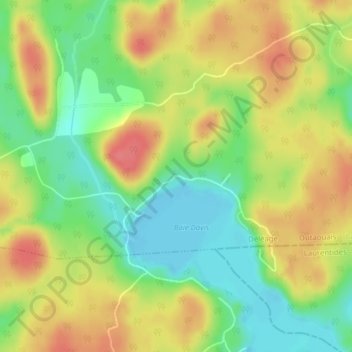
Name: Baie-Davis topographic map, elevation, terrain.

Location: Baie-Davis, Déléage, La Vallée-de-la-Gatineau, Outaouais, Quebec, Canada (46.30197 -75.82886 46.32197 -75.80886)

Average elevation: 195 m

Minimum elevation: 161 m

Maximum elevation: 228 m

La Vallée-de-la-Gatineau trails, hiking, mountain biking, running and outdoor activities

Gear up for your next adventure:

🧼Biodegradable Camp Soap - Environmentally friendly cleaning for gear and body
🧢Beanie Hat - Keep your head warm in cold weather
📷Outdoor Action Camera - Capture high-elevation views and rugged adventures
🥾Lightweight Hiking Boots - Boots for comfort and mobility on long hikes
🥾Mountain Hiking Boots - High-traction boots for rocky terrain

As an Amazon Associate, this site earns from qualifying purchases at no extra cost to you.