Geolocate

Talobatib topographic map

Click on the map to display elevation.

About this map
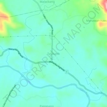
Name: Talobatib topographic map, elevation, terrain.

Location: Talobatib, Labo, Camarines Norte, Bicol Region, Philippines (14.16559 122.76516 14.20559 122.80516)

Average elevation: 33 m

Minimum elevation: 3 m

Maximum elevation: 154 m

Gear up for your next adventure:

☕Camping Coffee Maker - Brew fresh coffee anywhere on the topographic map
🧼Travel Hand Sanitizer - Keep hands clean when water is scarce
⛺Backpacking Tent - Lightweight tent for long-distance hiking trips
🥾Waterproof Trail Shoes - Shoes designed to handle wet terrain
🦟Insect Repellent - Keep mosquitoes and black flies away in wooded areas

As an Amazon Associate, this site earns from qualifying purchases at no extra cost to you.