
Mutton topographic map
Interactive map
Click on the map to display elevation.
About this map
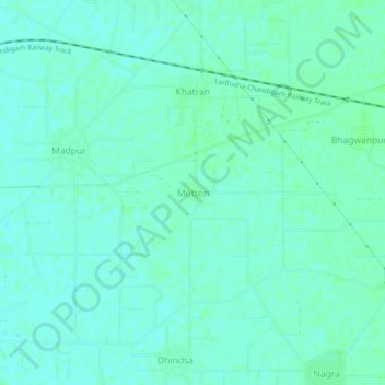
Name: Mutton topographic map, elevation, terrain.
Location: Mutton, Samrala Tahsil, Ludhiana, Punjab, 141124, India (30.79882 76.11931 30.83882 76.15931)
Average elevation: 265 m
Minimum elevation: 261 m
Maximum elevation: 268 m