Geolocate

Werdau topographic map

Click on the map to display elevation.

About this map

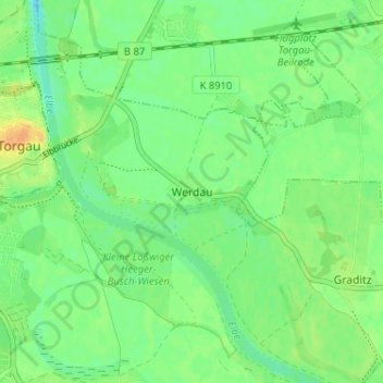
Name: Werdau topographic map, elevation, terrain.

Location: Werdau, Torgau, Nordsachsen, Sachsen, 04861, Deutschland (51.53329 13.01376 51.57329 13.05376)

Average elevation: 83 m

Minimum elevation: 71 m

Maximum elevation: 100 m

Other topographic maps

Click on a map to view its topography, its elevation and its terrain.

04861

Deutschland > Sachsen > Nordsachsen > Torgau

Average elevation: 100 m

Gear up for your next adventure:

🥾Hiking Shorts - Breathable shorts suitable for summer hikes
🔨Vehicle Emergency Tool - Safety tool for remote road trips to trailheads
👟Trail Running Shoes - Agile footwear for fast-paced topographic exploration
🪑Ultralight Camping Stool - Compact seating for rest stops during long hikes
🥾Light Trekking Boots - Supportive boots for multi-day treks

As an Amazon Associate, this site earns from qualifying purchases at no extra cost to you.