Geolocate

Rupadiya topographic map

Click on the map to display elevation.

About this map

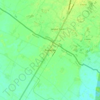
Name: Rupadiya topographic map, elevation, terrain.

Location: Rupadiya, Nanpara, Bahraich, Uttar Pradesh, India (27.97304 81.55724 28.05304 81.63724)

Average elevation: 146 m

Minimum elevation: 139 m

Maximum elevation: 153 m

Gear up for your next adventure:

🧦Merino Wool Socks - Moisture-wicking comfort for long-distance hiking
🧦Crew Hiking Socks - Comfortable socks for long-distance hikes
🚑Survival Whistle - Signal for help across long distances in mountains
🧴Sunscreen SPF - Broad-spectrum sunscreen for outdoor activities
🔭Outdoor Binoculars - Lightweight binoculars for birdwatching and hiking

As an Amazon Associate, this site earns from qualifying purchases at no extra cost to you.