Geolocate

Zipfel topographic map

Click on the map to display elevation.

About this map

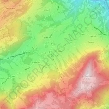
Name: Zipfel topographic map, elevation, terrain.

Location: Zipfel, Alberschwende, Bezirk Bregenz, Vorarlberg, 6861, Austria (47.43075 9.81552 47.47075 9.85552)

Average elevation: 820 m

Minimum elevation: 469 m

Maximum elevation: 1,169 m

Gear up for your next adventure:

🦯Trekking Poles - Reduced impact on joints for steep topographic climbs
🧢Outdoor Visor - Breathable visor for sunny hikes
Camping Tent - Weather-resistant tents suitable for 2 to 6 people
🧢Beanie Hat - Keep your head warm in cold weather
🧼Travel Hand Sanitizer - Keep hands clean when water is scarce

As an Amazon Associate, this site earns from qualifying purchases at no extra cost to you.