Geolocate

Tungao topographic map

Click on the map to display elevation.

About this map

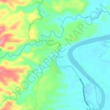
Name: Tungao topographic map, elevation, terrain.

Location: Tungao, Butuan, Caraga, 9600, Philippines (8.75874 125.54835 8.79874 125.58835)

Average elevation: 37 m

Minimum elevation: 3 m

Maximum elevation: 119 m

Gear up for your next adventure:

🥾Approach Boots - Comfortable boots for hiking and climbing approaches
🚲Heavy Duty Bike Lock - Secure your bike at the trailhead or during stops
🧦Hiking Socks - Moisture-wicking and comfortable socks for long hikes
🥾Mountain Trail Shoes - High-traction shoes for mountain trails
🧭GPS Handheld Device - Reliable GPS navigation for outdoor adventures

As an Amazon Associate, this site earns from qualifying purchases at no extra cost to you.