
Ermera topographic map
Interactive map
Click on the map to display elevation.
About this map
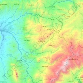
Name: Ermera topographic map, elevation, terrain.
Location: Ermera, East Timor (-8.99607 125.19070 -8.63827 125.53542)
Average elevation: 915 m
Minimum elevation: 37 m
Maximum elevation: 2,935 m