
Canhas topographic map
Interactive map
Click on the map to display elevation.
About this map
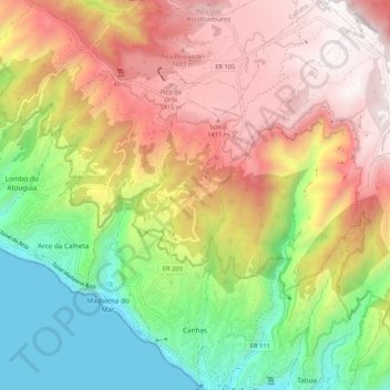
Name: Canhas topographic map, elevation, terrain.
Location: Canhas, Ponta do Sol, Madeira, Portugal (32.68137 -17.13298 32.77065 -17.06793)
Average elevation: 783 m
Minimum elevation: 0 m
Maximum elevation: 1,592 m