
Grand Mesa topographic map
Interactive map
Click on the map to display elevation.
About this map
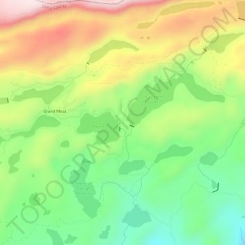
Name: Grand Mesa topographic map, elevation, terrain.
Location: Grand Mesa, Delta County, Colorado, USA (39.02024 -107.96980 39.06024 -107.92980)
Average elevation: 3,122 m
Minimum elevation: 2,916 m
Maximum elevation: 3,396 m