
Foxos topographic map
Click on the map to display elevation.
About this map
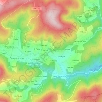
Name: Foxos topographic map, elevation, terrain.
Location: Foxos, Trabada, Mariña Oriental, Lugo, Galicia, 27765, España (43.42856 -7.21058 43.46856 -7.17058)
Average elevation: 270 m
Minimum elevation: 86 m
Maximum elevation: 483 m
Other topographic maps
Click on a map to view its topography, its elevation and its terrain.