Geolocate

Talaivasal topographic map

Click on the map to display elevation.

About this map

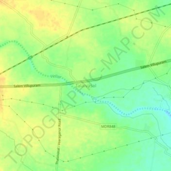
Name: Talaivasal topographic map, elevation, terrain.

Location: Talaivasal, Attur, Salem District, Tamil Nadu, 636112, India (11.56546 78.73556 11.60546 78.77556)

Average elevation: 166 m

Minimum elevation: 150 m

Maximum elevation: 177 m

Gear up for your next adventure:

🥾Trail Hiking Shoes - Durable shoes designed for rugged trails
🧥Softshell Hiking Jacket - The perfect balance of wind protection and breathability
🪑Insulated Seat Pad - Protect your seat from cold rocks and wet logs
Backpacking Tent - Lightweight tent for long-distance hiking trips
🧦Merino Wool Socks - Moisture-wicking comfort for long-distance hiking

As an Amazon Associate, this site earns from qualifying purchases at no extra cost to you.