
Tariq El Jedidé topographic map
Interactive map
Click on the map to display elevation.
About this map
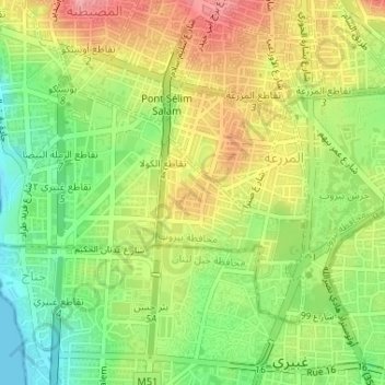
Name: Tariq El Jedidé topographic map, elevation, terrain.
Location: Tariq El Jedidé, Mazraa, Gouvernorat de Beyrouth, Liban (33.86755 35.49427 33.87539 35.50173)
Average elevation: 51 m
Minimum elevation: 0 m
Maximum elevation: 106 m