
Castelgerundo topographic map
Click on the map to display elevation.
About this map
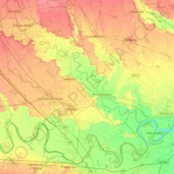
Name: Castelgerundo topographic map, elevation, terrain.
Location: Castelgerundo, Lodi, Lombardy, Italy (45.04030 9.58380 45.36030 9.90380)
Average elevation: 57 m
Minimum elevation: 27 m
Maximum elevation: 83 m