Geolocate

Jarvis Lake topographic map

Click on the map to display elevation.

About this map

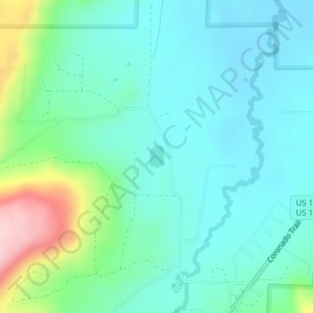
Name: Jarvis Lake topographic map, elevation, terrain.

Location: Jarvis Lake, Apache County, Arizona, United States (33.98209 -109.21065 33.98409 -109.20918)

Average elevation: 2,341 m

Minimum elevation: 2,289 m

Maximum elevation: 2,517 m

Other topographic maps

Click on a map to view its topography, its elevation and its terrain.

Greer

United States > Arizona > Apache County

Average elevation: 2,669 m

Gear up for your next adventure:

Camping Essentials - All-in-one gear for a comfortable camping trip
🌬️Windproof Camp Stove - Efficient cooking even on exposed mountain peaks
❄️Traction Ice Cleats - Slip-on spikes for icy trails and winter hiking
🔦LED Headtorch - Bright and durable light for night activities
🧤Insulated Winter Gloves - Heavy-duty protection for sub-zero Canadian adventures

As an Amazon Associate, this site earns from qualifying purchases at no extra cost to you.