Geolocate

Marrero topographic map

Click on the map to display elevation.

About this map

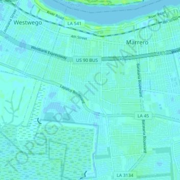
Name: Marrero topographic map, elevation, terrain.

Location: Marrero, Jefferson Parish, Louisiana, United States (29.85369 -90.15257 29.91334 -90.08357)

Average elevation: 2 m

Minimum elevation: -2 m

Maximum elevation: 10 m

Other topographic maps

Click on a map to view its topography, its elevation and its terrain.

Metairie

United States > Louisiana > Jefferson Parish

Average elevation: 2 m

Gear up for your next adventure:

🥾Mountain Hiking Boots - High-traction boots for rocky terrain
🧥Thermal Layer - Insulating layer for cold outdoor conditions
🧢Hiking Hat - Sun-protective and breathable hats for long treks
🧼Travel Hand Sanitizer - Keep hands clean when water is scarce
🧦Hiking Liner Socks - Thin base layer to prevent friction and blisters

As an Amazon Associate, this site earns from qualifying purchases at no extra cost to you.