
Make a donation
Gear up for your next adventure:
As an Amazon Associate, this site earns from qualifying purchases at no extra cost to you.
Srivaikuntam topographic map
Click on the map to display elevation.
Make a donation
Gear up for your next adventure:
As an Amazon Associate, this site earns from qualifying purchases at no extra cost to you.
Srivaikuntam
Tiruvaikuntam is located at 8°37′52″N 77°54′34″E / 8.63115°N 77.9095017°E / 8.63115; 77.9095017. It has an average elevation of 17 metres (55 feet). The town is located on the north bank of the Tamirabarani river. It is 30 km east of Tirunelveli , 30 km west of Tiruchendur and 39 km from Tuticorin.
Make a donation
Gear up for your next adventure:
As an Amazon Associate, this site earns from qualifying purchases at no extra cost to you.
About this map
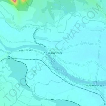
Name: Srivaikuntam topographic map, elevation, terrain.
Location: Srivaikuntam, Thoothukudi, Tamil Nadu, 628600, India (8.59147 77.87139 8.67147 77.95139)
Average elevation: 19 m
Minimum elevation: 7 m
Maximum elevation: 174 m
Make a donation
Gear up for your next adventure:
As an Amazon Associate, this site earns from qualifying purchases at no extra cost to you.