Geolocate

Sundara topographic map

Click on the map to display elevation.

About this map

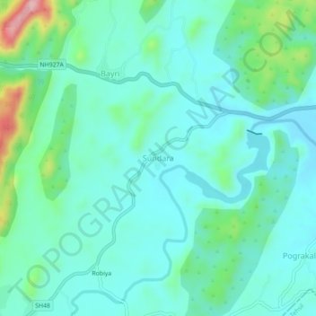
Name: Sundara topographic map, elevation, terrain.

Location: Sundara, Kherwara Tehsil, Udaipur, Rajasthan, 313803, India (23.95877 73.53156 23.99877 73.57156)

Average elevation: 381 m

Minimum elevation: 331 m

Maximum elevation: 576 m

Gear up for your next adventure:

🧢Sun Protection Cap - Breathable cap to protect from sun exposure
📷Outdoor Action Camera - Capture high-elevation views and rugged adventures
🪑Insulated Seat Pad - Protect your seat from cold rocks and wet logs
🥾Light Trekking Boots - Supportive boots for multi-day treks
🛌Down Sleeping Bag - Superior warmth-to-weight ratio for cold nights

As an Amazon Associate, this site earns from qualifying purchases at no extra cost to you.