Geolocate

Boone topographic map

Click on the map to display elevation.

About this map

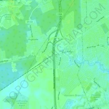
Name: Boone topographic map, elevation, terrain.

Location: Boone, Chesapeake, Virginia, 23321, United States (36.82237 -76.45356 36.86237 -76.41356)

Average elevation: 6 m

Minimum elevation: -1 m

Maximum elevation: 11 m

Other topographic maps

Click on a map to view its topography, its elevation and its terrain.

Bailey Creek

United States > Virginia > Chesapeake

Average elevation: 5 m

Gear up for your next adventure:

🧦Outdoor Socks - Durable socks designed for hiking and outdoor sports
👟Sport Hiking Sandals - Breathable footwear for water crossings and camp rest
Lightweight Camping Tent - Portable shelter optimized for Canadian backcountry camping
🔨Vehicle Emergency Tool - Safety tool for remote road trips to trailheads
🔥Emergency Fire Starter - Reliable ignition source for all weather conditions

As an Amazon Associate, this site earns from qualifying purchases at no extra cost to you.