Geolocate

Sulzberg topographic map

Click on the map to display elevation.

About this map

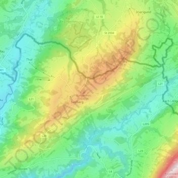
Name: Sulzberg topographic map, elevation, terrain.

Location: Sulzberg, Bezirk Bregenz, Vorarlberg, 6934, Austria (47.50242 9.86249 47.54815 9.97129)

Average elevation: 758 m

Minimum elevation: 521 m

Maximum elevation: 1,230 m

Gear up for your next adventure:

🔦LED Headlamp - Hands-free lighting for early morning starts or late finishes
🥾Waterproof Trail Shoes - Shoes designed to handle wet terrain
🛌Down Sleeping Bag - Superior warmth-to-weight ratio for cold nights
Camping Groundsheet - Protect your tent from moisture and dirt
Tent Footprint - Protect tent floor and increase durability

As an Amazon Associate, this site earns from qualifying purchases at no extra cost to you.