Geolocate

Hoorn topographic map

Click on the map to display elevation.

About this map

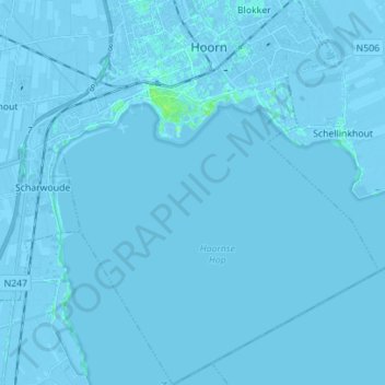
Name: Hoorn topographic map, elevation, terrain.

Location: Hoorn, North Holland, Netherlands (52.57894 5.01354 52.66357 5.13531)

Average elevation: -1 m

Minimum elevation: -7 m

Maximum elevation: 7 m

Gear up for your next adventure:

📷Outdoor Action Camera - Capture high-elevation views and rugged adventures
💧Filtered Water Bottle - Safe drinking water on the go
🪜Heavy Duty Carabiners - Multi-use clips for securing gear to your backpack
🧰Survival Kit - Essential gear for emergencies in the wilderness
🚲Bike Repair Kit - Essential tools for on-trail mechanical issues

As an Amazon Associate, this site earns from qualifying purchases at no extra cost to you.